|
|
Emmeloord, Netherlands, Europe |
|
|
|
|
|
|
Emmeloord, 1955
source: Nieuw Land Erfgoedcentrum
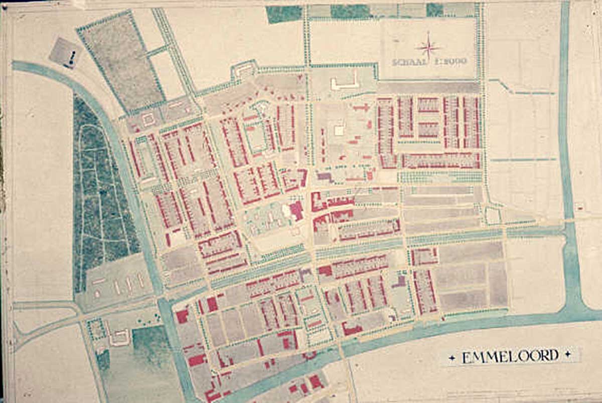
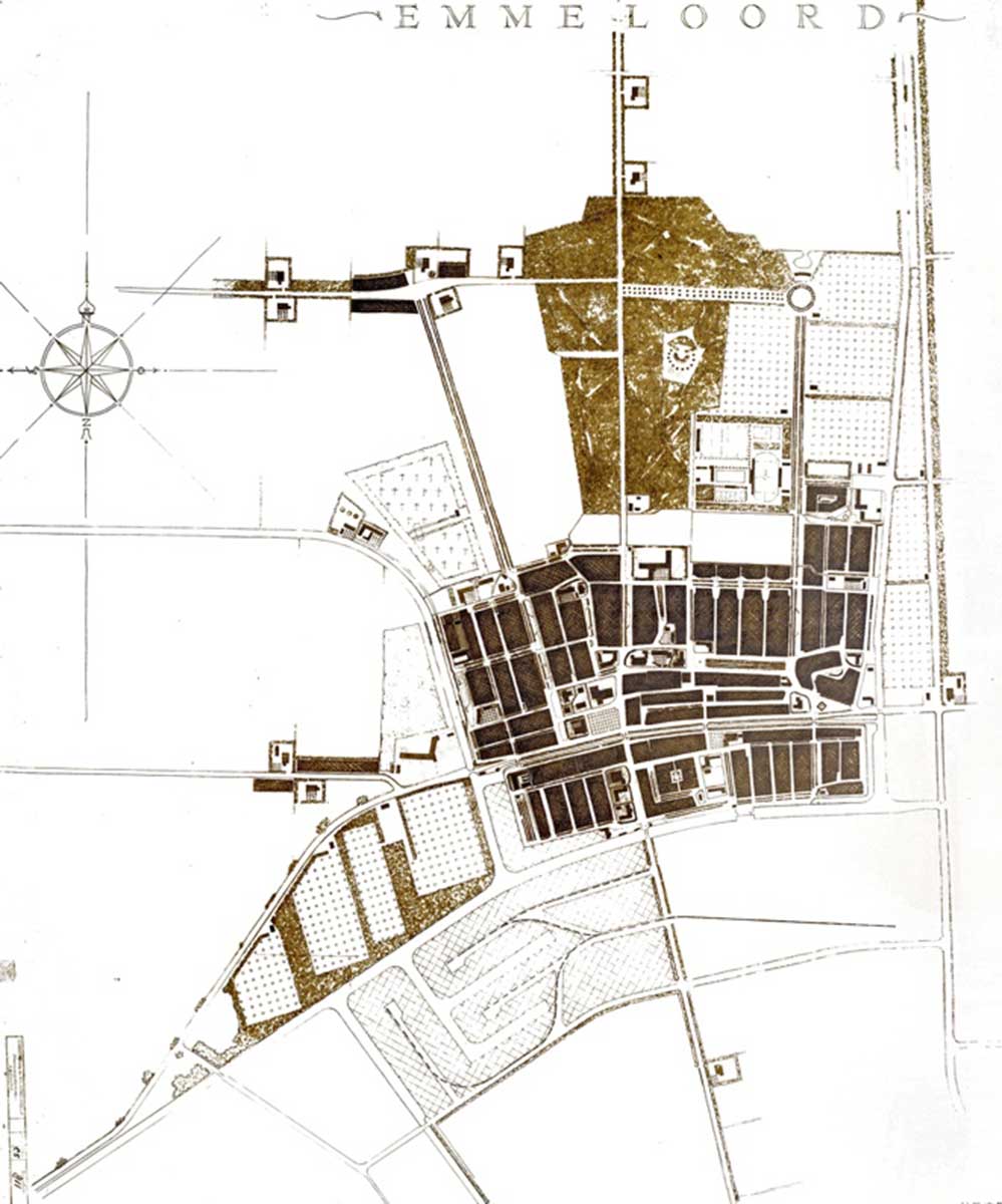
Map of Emmeloord, 1956
source: Nieuw Land
Erfgoedcentrum, Lelystad
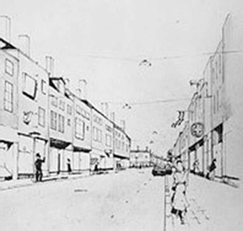
Sketch for one of the
main streets (Lange
Nering) of Emmeloord,
1950
source: https://www.emmeloord.inf
o/noordoostpolder/over-em
meloord/
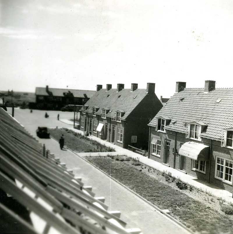
Zeeasterstreet, 1950s
source: https://www.emmeloord.inf
o/noordoostpolder/over-em
meloord/
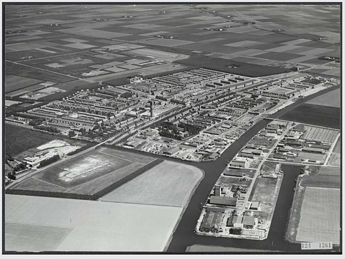
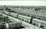
Emmeloord, 1959
source: https://www.emmeloord.inf
o/oude-fotos/luchtfoto-em
meloord/
|
Emmeloord is located in the Noordoostpolder, a polder that was reclaimed between 1937 and 1942 and previously belonged to the Zuiderzee. With over 30 kilometers of dike, an agricultural area of 460 km2 was added to the Dutch soil. The reclamation was a consequence of the Zuiderzee Act of 1918. Food supply had been elevated to a political priority after World War I and the economic crisis of the 1930s.
After the end of World War II, land was issued in 1947 to strictly selected farmers, mainly from the north of the country.
The design of the polder is based on the Central Place Theory (1933) of German geographer Walter Christaller (1893-1969). He was the first to look at cities as a system in which smaller and larger cities form a network in relation to each other. He distinguished between A, B and C cities: small settlements, larger cities and regional centers.
Centrally located in the Noordoostpolder is the ‘capital’ Emmeloord, a city of the B-category. Around it, in a circle, are 10 villages of the A-category: Marknesse, Ens, Tollebeek, Luttelgeest, Nagele, Rutten, Creil, Kraggenburg, Espel and Bant. The later built Lelystad was a city of the C-category. The two islands of Schokland and Urk became part of the polder through reclamation.
source: INTI |
|
2008 - 2024 disclaimer
|

)
)
)
)
)